Try Out the New “Metrobus Explorer” Tool and Tell Us What You Think!
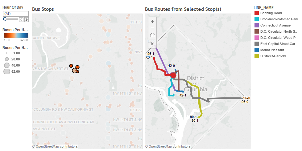
We want your feedback on a new online tool, Metrobus Explorer, which allows visualization of Metrobus service frequency and geography.
One of the biggest challenges facing bus transit is making the service extremely easy to understand. Metrorail stations are filled with customer information, including system maps, fare and travel time tables, station-ahead lists, and passenger information display systems (PIDS) screens, leaving little guesswork for the savvy traveler. Moreover, with limited real estate available for customer information, Metrobus stops are often at a disadvantage. While Metro continues to improve bus stops around the region — including the design and installation of new diagrammatic bus system maps — information technology is also playing an important role in filling the bus customer information gap, including BusETA, information displays, and trip planning sites and apps.
Metro’s Office of Planning is developing a new online tool called Metrobus Explorer that is geared to answer two questions about the Metrobus network: “How often do buses arrive at a given stop (or set of stops), and where do they go from there?”


Recent Comments