‘In The News’

Paratransit and the Coming Age Wave

December 15th, 2015 2 comments

Christian T. Kent, the Assistant General Manager for Access Services, offers his thoughts on accessibility and Metro’s future.

ChristianKentMr. Kent provides oversight for the accessibility of Metrobus and Metrorail and is directly responsible for the operation of MetroAccess paratransit service. Metro operates the largest fully accessible transit system and the fifth largest paratransit system in North America. 

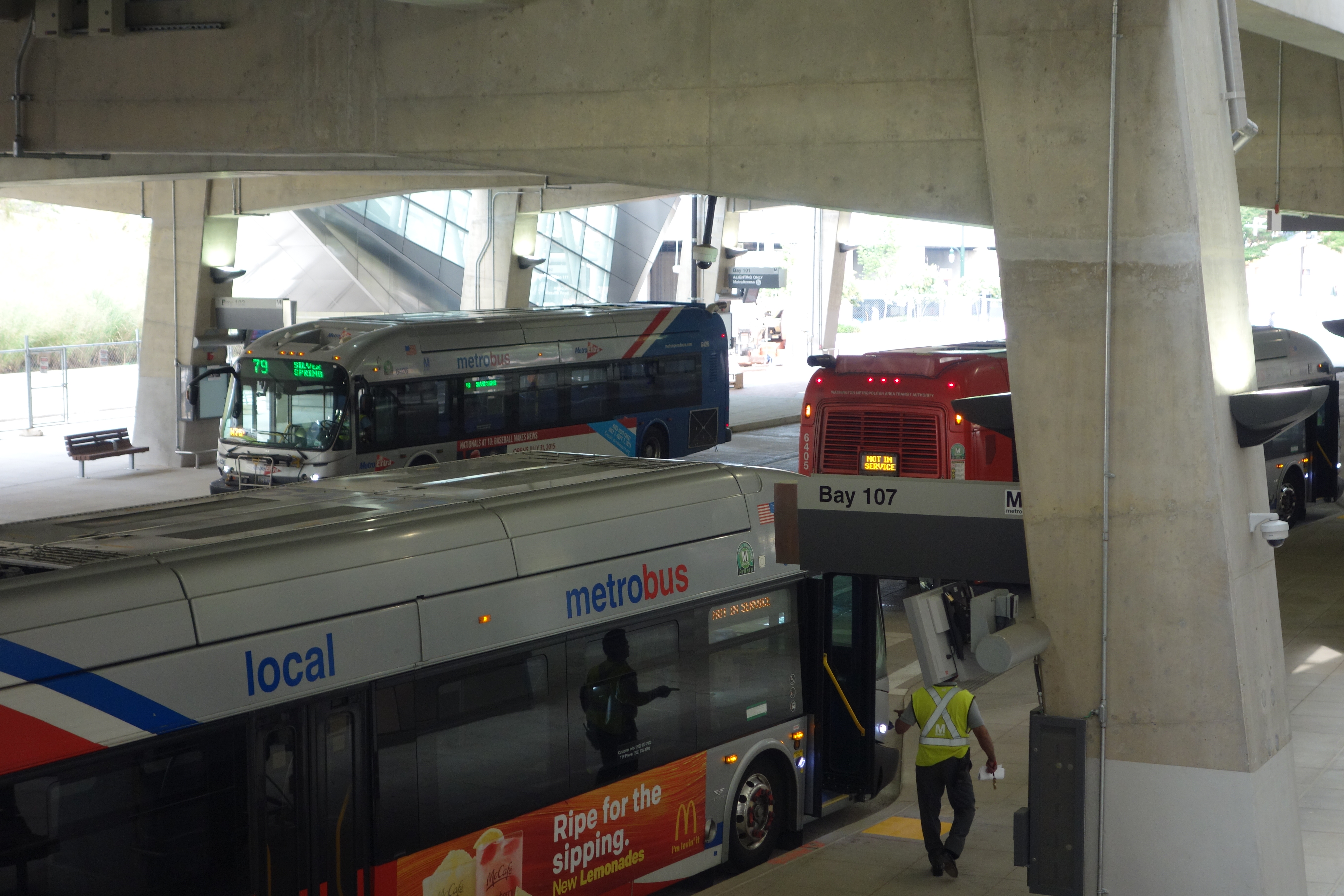
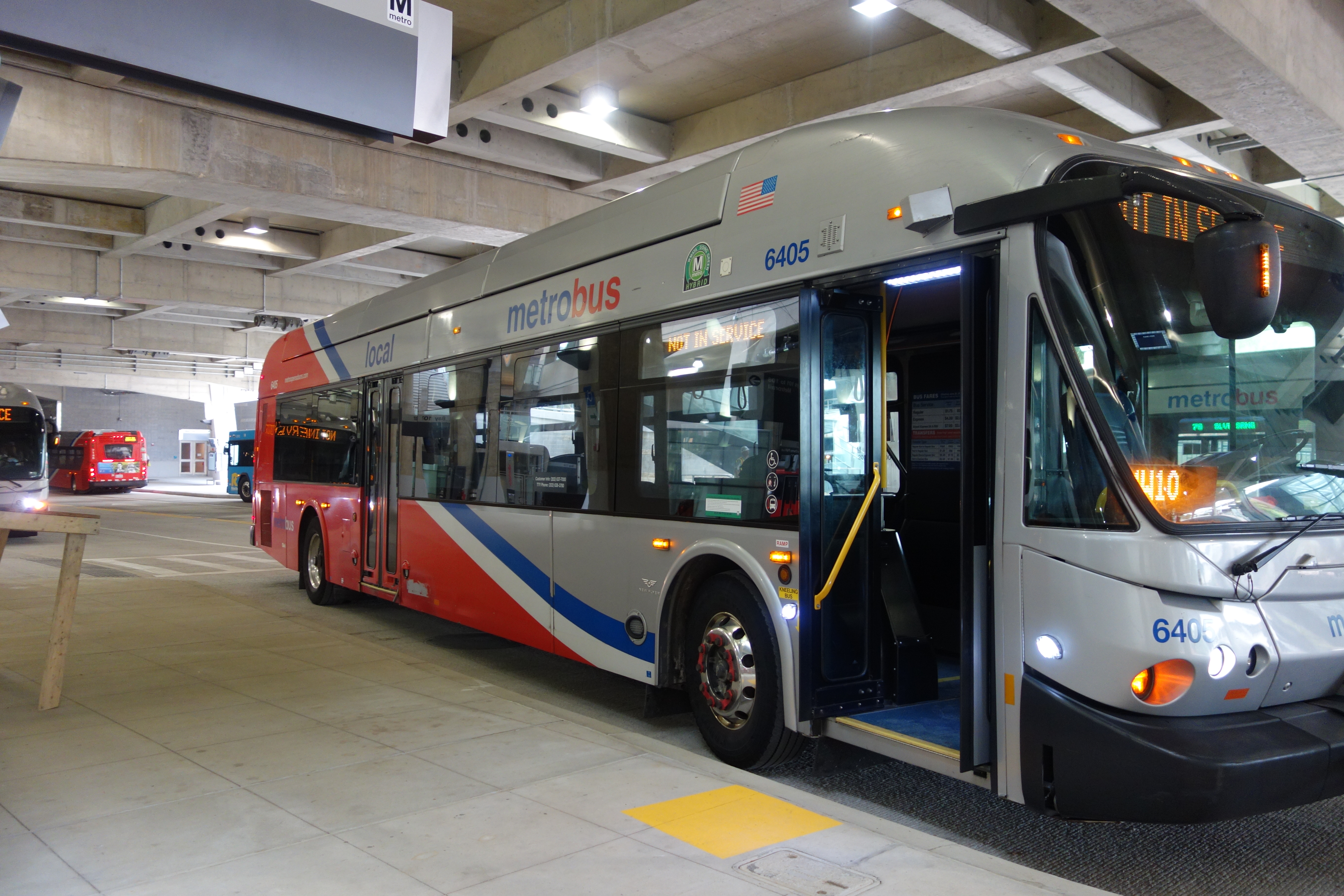
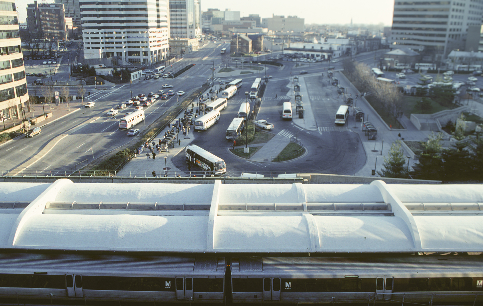
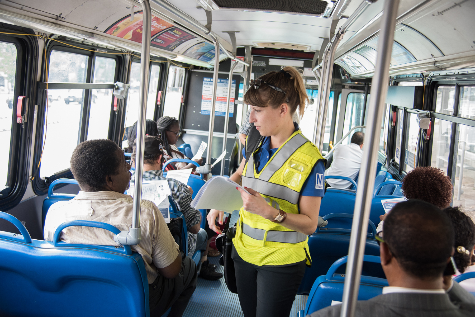
Accessibility is very important at Metro. Because Metro is accessible, hundreds of thousands of people with disabilities in our region can depend on Metro to get where they are going. Our low-floor talking buses and rail stations with elevators mean that someone who is blind or uses a wheelchair can use Metrobus or Metrorail. Metro can be the family car for someone who can’t drive. And for those who can’t use bus or rail, there is our paratransit service, MetroAccess. Our 675 lift-equipped MetroAccess vans deliver over 2 million rides every year to 40,000 customers. So Metro really is very important to people with disabilities, and Metro will be even more important to them in the future. Why is that?

America is getting older. More and more people are turning 65 each year, and seniors have a much higher rate of disability and drive less often than younger people. The average MetroAccess rider is 62 years old. In the District, the average age is 67. This “age wave” means more Metro customers with disabilities in the coming years. We need to make sure that the accessibility features in our bus and rail service work consistently well so that customers with disabilities choose and use bus and rail. Providing the most accessible bus and rail service means less reliance on MetroAccess. This is important to Metro because a trip on paratransit is much more expensive than one on bus or rail, and it is important to customers who want to take advantage of the most independent means of travel available. Read more…

Metrobus Service Change Takes Effect December 13

December 10th, 2015 Comments off

Bus schedules are being updated for 25 routes across DC, Virginia, and Maryland, starting Sunday, December 13.

F4 bus at Prince George’s Plaza. Photo by WMATA staff.

Here’s what to expect:

  • Timetable adjustments: 22A, 30N, 30S, 31, 32, 33, 34, 36, 62, D32, F14, J2, J3, J7, P12, REX, TAGS
  • More trips: 26A
  • Reroute or bus stop change: 3A, 3Y, 17B, 17L, 18H, F4, S9

Most of the service changes are minor adjustments to trip times. Check out the service advisory for more detail and the upcoming schedules to plan accordingly.

The biggest changes affect riders of the 3A, 3Y, and 26A. This group of changes is a product of the 2015 Bus State of Good Operations process to improve service in the Lee Highway corridor around East Falls Church.

The 3A Lee Highway-Falls Church line will no longer operate between East Falls Church Metrorail and Rosslyn Metrorail stations along Lee Highway. Route 3A will be shortened and only operate between Annandale and East Falls Church Metrorail station. On weekends and holidays, the 3A will be extended to serve the Seven Corners Transit Center.

Service along Lee Highway between East Falls Church and Rosslyn will be provided by new Arlington Transit (ART) Route 55. The ART 55 will serve all current Arlington County 3A stops and operate seven days a week, with increased midday and weekend service. Check out the new 3A schedule and the new ART 55 schedule. Questions about the ART 55 service should be directed to Arlington County.

We are extending the 3Y westward along Lee Highway to East Falls Church. The 3Y will now connect downtown DC, Rosslyn, and East Falls Church. The route will no longer operate along George Mason Drive, Patrick Henry Drive, or Harrison Street. The stops on at N Harrison St @ Patrick Henry Dr and N George Mason Dr @ Patrick Henry Dr will be discontinued.

We are adding more trips to the 26A during peak periods. The 26A will run every 30 minutes from approximately 5:30-9:00am and 3:30-7:00pm. Current ridership is satisfactory at the 60-minute frequency, but the increased peak period service should make the 26A more attractive to both current and potential riders.

See if there will be updates to your routes below, then prepare yourself for December 13 by viewing the updated schedules.

DC: 30N, 30S, 31, 32, 33, 34, 36, 62, D32, S9

MD: F4, F14, J2, J3, J7, P12

VA: 3A, 3Y, 17B, 17L, 18H, 22A, 26A, REX, S80 (TAGS)

Board Approves 2015 Bus SOGO

November 20th, 2015 Comments off

State of Good Operations (SOGO) changes coming to a Metrobus route near you.

Metrobus planning presented the annual 2015 Bus State of Good Operations recommendations (PDF) to the Board on November 19. The package was approved and customers will see some changes starting in December. The remainder of the changes will roll out with Metrobus’ March and June schedule changes. 

Staff provided SOGO proposal information at outreach events and pop ups, including at the Pentagon Transit Center

Staff provided SOGO proposal information at outreach events and pop ups, including at the Pentagon Transit Center, photo by WMATA

The annual SOGO process seeks board approval for changes to Metrobus service. Every year,  planners put together a comprehensive list of Metrobus routes they want to improve in the coming year. Any major service change must be approved by the board. A major Metrobus service change is defined as

  • Change in span of service on a line of more than one hour in a single fiscal year,
  • Change in revenue miles on a line of more than 20% in a single fiscal year,
  • Change in route miles on a line of 15% in a single fiscal year, or
  • Projected change of 10% of the riders on a line in a single fiscal year.

This year, planners were tasked with improving service, reliability, travel time, and crowding while keeping the proposals budget and cost neutral.  The recommendations must not have a disparate impact on minority populations or a disproportionate burden on low income populations. Read more…

Metro Reminds Customers to be Street Smart as Daylight Recedes

November 2nd, 2015 Comments off

As daylight hours shorten, the region’s Street Smart initiative takes to the streets to reduce collisions involving bicyclists and pedestrians.

Alexandria Mayor Euille kicks off safety campaign

Alexandria Mayor Euille kicks off safety campaign

Daylight saving time ended on November 1 and evening commuters now have one less hour of daylight. In 2013, 72 percent of pedestrian fatalities in the U.S. occurred in the dark. To mark this transition and remind the region’s residents to be extra vigilant when travelling during these darker hours, the region recently kicked off the Fall 2015 Street Smart Pedestrian and Bicycle Safety campaign at Alexandria City Hall. Metro Board member and  Alexandria Mayor Euille opened the campaign with some personal remarks about ensuring his own safety.  He and other local officials were on hand to remind motorists, pedestrians and bicyclists to be extra vigilant as they travel throughout the region.  ‘Walking billboards’ also will be out and about near heavy pedestrian areas handing out safety information and highlighting safety messages for those who pass by. 

Street teams hand out safety materials to Metrobus riders

Street teams hand out safety materials to Metrobus riders

Metro riders use many modes to travel to and from our services, and each and every one is a pedestrian at some point along their trip, so we partner with the Street Smart campaign to spread these safety messages:

  • If you are a driver, slow down and watch for pedestrians and cyclists.  Stop for pedestrians in crosswalks and leave at least 3 feet when passing a cyclist.
  • If you are a pedestrian, use crosswalks and be sure to look left, right and left again before stepping off a curb.
  • Cyclists, obey traffic laws and ride with traffic.
  • And for all, pay attention to your surroundings as you travel, do not let your devices distract you.

To make it easy to keep these tips in mind, we also like Arlington’s transportation team’s  handy acronym that offers an easy reminder to keep us safe on the streets: be a PAL – that is, be Predictable, Alert, and Lawful.  It works for everyone.

We all have a role to play in keeping each other safe – let’s be sure we do our part.  Stay safe out there.


The Long View: Fiscal Year 2015 Bus and Rail Ridership Summary

September 22nd, 2015 Comments off

As Fiscal Year 2015 drew to a close last month, we figured it’s time to take the long view: how did ridership do this year?

On the whole, for an average weekday over the last year:

  • Rail ridership was up by 1.5%, in part due to the introduction of the Silver Line.
  • Bus ridership was down by 1.4.
  • Rail ridership was up largely due to the federal government shutdown in October of FY14.
  • Metrorail had a good fall and winter, while Metrobus started the fiscal year well but struggled in the winter and spring months.

FY2015 Ridership Year in Review

Seasonal Trends. All changes in ridership are best shown as a comparison to the same time last year, because ridership rises and falls as the seasons change. Traditionally, ridership is lowest in the winter, and peaks twice: one in late March/early April for the Cherry Blossoms, and then again in June and July when tourists and outdoor activities are in full swing. August is usually slow, and then ridership levels stabilize again in the fall. Read more…

REMINDER: Go Car-Free Tomorrow! (and maybe the rest of the week, for that matter)

September 21st, 2015 Comments off

Pledge to go car free this week!

Tomorrow, Tuesday, September 22, marks the 8th year International Car-Free Day has been celebrated here in this region. If you haven’t taken the pledge to leave the car at home tomorrow, there’s still time!  Sign yourself up for the car-free mode of your choice.  Not only will you save some carbon (find out how much using our Greenhouse Gas Calculator), but you also just might win yourself a nifty prize.

Car Free Day PosterCar Free Day banner 2

Further, given that the Papal visit will occur from Tuesday through Thursday this week, you may want to sign up mentally for another few days of a car-free lifestyle and avoid major congestion around town.

Let us know how you’re going car-free in the comments.

Paul S. Sarbanes Silver Spring Transit Center Opening September 20th

September 16th, 2015 2 comments

The Paul S. Sarbanes Silver Spring Transit Center will open on Sunday, September 20th. After many of years of anticipation, Metrobus, Ride On, and Shuttle-UM are ready to start operations.

Situated next to the Silver Spring Metrorail Station, MARC train station, and Metropolitan Branch Trail, the Silver Spring Transit Center serves as Montgomery County’s multimodal transportation hub. Eventually, the Purple Line Light Rail will also serve the Silver Spring Transit Center.

The Silver Spring Transit Center will replace on-street bus stops with 3 stories of bus bays, taxis, a kiss and ride, and public restrooms. With two separate levels dedicated to bus operations and over 125 buses per hour expected during peak periods, Metrobus operations have been busy preparing for the big day. We got a chance to take a tour and share a few photos.  Click on any photo for a larger version.

The following Metrobus routes will have stops inside the transit center. See the directory below to prepare yourself for the opening of the Paul S. Sarbanes Silver Spring Transit Center. Read more…

Categories: In The News Tags: , ,

Metrobus is Collecting Your Input for Annual Bus Service Adjustments

September 15th, 2015 3 comments

Time is running out to provide your input on proposed Metrobus changes.

Every year, Metrobus planners propose service changes to maintain a Bus State of Good Operations (SOGO). This year’s official public participation period went live on Saturday, August 15 and will close at 5:00pm on Wednesday, September 23.  That’s less than two weeks away!

Halfway through the public comment period, we thought we would give you sense of the process so far.

  • More than 3,000 online surveys have been completed.  Two-thirds of these returns are from direct email outreach to customers using affected routes. If you are interested in receiving invitations to similar online surveys in the future, please register your SmarTrip card.

    Bus SOGO outreach 2015

    Bus SOGO outreach 2015

  • With more than 20 outreach events completed or scheduled, we are collecting feedback by going straight to the customer.  Metro staff is out riding buses and showing up at bus stops and rail stations.  We understand not everyone can go online so we are coming to them.  Look for us and help us improve your bus experience.
  • These outreach activities have resulted in more than 2,000 written comments from customers all over the region.
  • At the time of this writing, the elimination of the 5A is not being well received nor is the elimination of the segment between McPherson Square and Kennedy Center on the Route 80.  Many in the District are giving favorable marks to the free transfer between Capitol Heights/Addison Road Metrorail stations for select routes.  Maryland customers are also excited for the Q Line free transfer to and from the Metrorail Red Line between Wheaton and Silver Spring.
  • In addition to English-language replies, we have received completed surveys from Spanish, Vietnamese, and Amharic speakers.  Customers from all economic and ethnic groups are chiming in as well.

We want to hear more from our customers to see how these changes would affect your travel choices. Let us know how major service changes would impact you. Join the conversation by reading the official docket and submitting your thoughts online or in person.

-Email your comments to writtentestimony@wmata.com
-Talk to Metro staff at a pop-up event
Take an online survey
-Attend the public hearing on Thursday, September 17 at WMATA HQ (600 5th St NW, Washington, DC 20001).

Bus Stop Accessibility Improvements – Making Good on the Promise of the Americans with Disabilities Act

August 26th, 2015 8 comments

Metro is taking a data-driven approach to make the region’s bus stops more accessible to all.

The signing of the Americans with Disabilities Act (ADA) on July 26, 1990 was a landmark event in our nation’s history. Like other pieces of civil rights legislation, this law works to ensure a more inclusive America, one where every person has the right to participate in all sectors of society and be recognized for his or her accomplishments. Its passage paved the way for millions of Americans with disabilities to positively contribute to their communities in a variety of ways, including employment.

Two decades on, however, much work still remains to be done.

The DC region has over 19,000 bus stops, with approximately 11,100 served by Metrobus, and the remaining 8,900 served exclusively by locally operated transit systems. Of the 19,000 stops, approximately 6,500 are inaccessible to some people with disabilities. Inaccessible bus stops can be a reason for an individual to qualify for MetroAccess paratransit service operated by Metro, and can be a reason for an individual to choose MetroAccess over fixed route bus service for a particular trip. Accessible bus stops reduce demand for paratransit service, and improve safety for all customers. Metro and each jurisdiction in the region are working to improve inaccessible stops. In addition to improving stops Metro also aims to use an array of data as well as policy adjustments to strategically target bus stops for improvements.

Metro’s Bus Stop Standard

Metro maintains a database of the region’s bus stops. As a result of a new bus stop standard, Metro is not only updating the information in the database, but is working to improve the database in two significant ways: 1) provide jurisdictional access to update the database and 2) the addition of a smartphone app.

The standard criteria of an accessible bus stop includes the following: 1) Flat and Firm Surface, 2) 5 feet wide x 8 feet long, and 3) Connects to the Curb. Metro has added a fourth criterion for measuring the accessibility of a bus stop: the presence of an accessible pathway to/from the nearest corner to the bus stop. That accessible pathway must include a curb cut at the corner with an additional curb cut at one adjacent corner.

Fig1 - Accessible but connected

The two photos above illustrate the difference. Both bus stops feature flat and firm surfaces that are at least 5’ x 8’ in size, and both connect to the curb. So under the standard criteria, both are accessible bus stops. The difference is that the stop in the photo on the left is surrounded by grass and dirt. There is no accessible pathway to/from the stop. The stop on the right connects to the accessible sidewalk and pathway to the corner. Read more…

All Aboard! Metro Welcomes New Development Planned at Rhode Island Avenue

July 22nd, 2015 Comments off

A redevelopment project planned for Rhode Island Avenue Metro station, one of the largest such projects in the District, could bring $2.3M per year in new fare revenue for Metrorail.

A venture led by MRP Realty is proposing a mega project near the Rhode Island Avenue metro station, which when constructed would add over 1,500 residential units and retail to that transit-oriented community.  That’s fantastic news for the District, which needs household growth to resolve its structural fiscal deficit, and also for Metro and the region, which benefits each time we add transit-oriented development that drives ridership and revenue.

Image Courtesy MRP Realty

Image Courtesy MRP Realty

At Metro we find this especially exciting because it is yet another example of how changes in development are in part fueling a ridership resurgence.  Our Land Use-Ridership model conservatively suggests that this project will yield an additional 3,200 rail entries per day systemwide, generating rail fare revenues of around $2.3 million per year. Whether this ridership actually materializes – or is even higher – depends on the developer building good pedestrian connections to the Metro station and the Met Branch Trail.

In addition, this project could be a good opportunity to create a pedestrian connection between the station and the neighborhoods to the north, where potential Metrorail riders are blocked from the station’s “walk shed” today.  The current conditions include a challenging combination of grade changes and physical barriers behind the shopping mall, creating pedestrian barriers outlined in red below. The key question will be whether the development will help fix the barrier along the north side of the site, which would only increase the ridership- and revenue-generating potential of this project.

Image Courtesy Google Maps

Pedestrian barriers in red. Image courtesy Google Maps

The property tax benefits of the project all accrue to the District, and the increased revenue to WMATA doesn’t come for free – the system will need to handle the additional passengers and incur additional operating costs and potential wear and tear on the system.  Right now there isn’t a defined mechanism for WMATA to recoup the value of real estate property taxes to fund capital renewal or expansion.  But certainly anything that contributes to the operating health of the transit agency through increased ridership and revenues goes a long way to promoting financial stability for the Authority, as well as lowering the operating subsidy burden it requires to run the system.