This is the second post in a two-part series based  on content from the tenth meeting with the Regional Transit System Plan (RTSP) Technical Advisory Group (TAG) that was held in July. The first post focused on our analysis of new Metrorail lines in the core and Virginia. This post is about our approach to identify regionally significant corridors for high capacity transit.
By 2040, multiple regionally significant travel corridors will need high capacity, high frequency transit to connect people and jobs outside of the core.
As part of the RTSP, we will identify regionally significant corridors where transit priority infrastructure is needed to provide high capacity transit. At the TAG meeting, Metro Planning staff presented a methodology to identify, evaluate, and prioritize these regionally significant corridors. The methodology has evolved since the July meeting and is described below. The actual evaluation and prioritization is still in process.
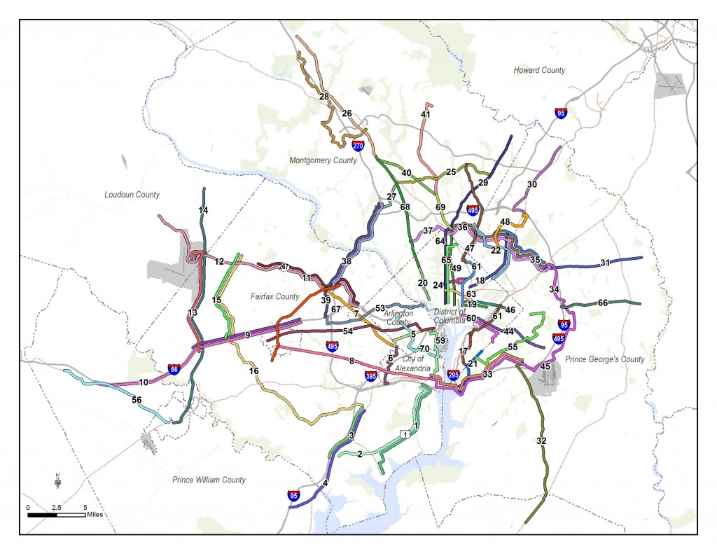
Corridors identified for evaluation for high capacity transit.
Since the TAG meeting, we have also conducted one-on-one meetings with each jurisdiction and agency in the RTSP study area to review and gather feedback on the full set of corridors that will be evaluated. Approximately 70 corridors have been identified from:
Read more…
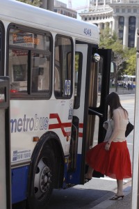 The distance between stops is of key concern to Metro and its customers. More closely spaced stops provide customers with more convenient access, as they are likely to experience a shorter walk to the nearest bus stop. However, closely-spaced stops are also likely to result in a longer ride for customers because of the number of times the bus stops — to decelerate, come to a complete stop and then accelerate and re-merge into traffic — is increased.
Having fewer stops along a bus route benefits passengers not only by reducing the time it takes for them to make their trip, but by making the service more reliable and predictable. Customer benefit is maximized when the only stops considered for removal have low average weekday ridership for boarding and alighting. We have chosen the 96/97 line, known as the East Capitol Street-Cardozo line, which runs between Capitol Heights Station, Stadium-Armory Station, Union Station, U Street Station, Woodley Park Station, and Tenleytown Station. Some of the bus stops in the Woodley Park area are also served by the X3 route.
Read more…
This is the first post in a two-part series based on content from the tenth meeting with the Regional Transit System Plan (RTSP) Technical Advisory Group (TAG) that was held in July. This post will focus on our analysis of Metrorail capacity and crowding, while the second post will focus on identifying and prioritizing regionally significant surface transit corridors.
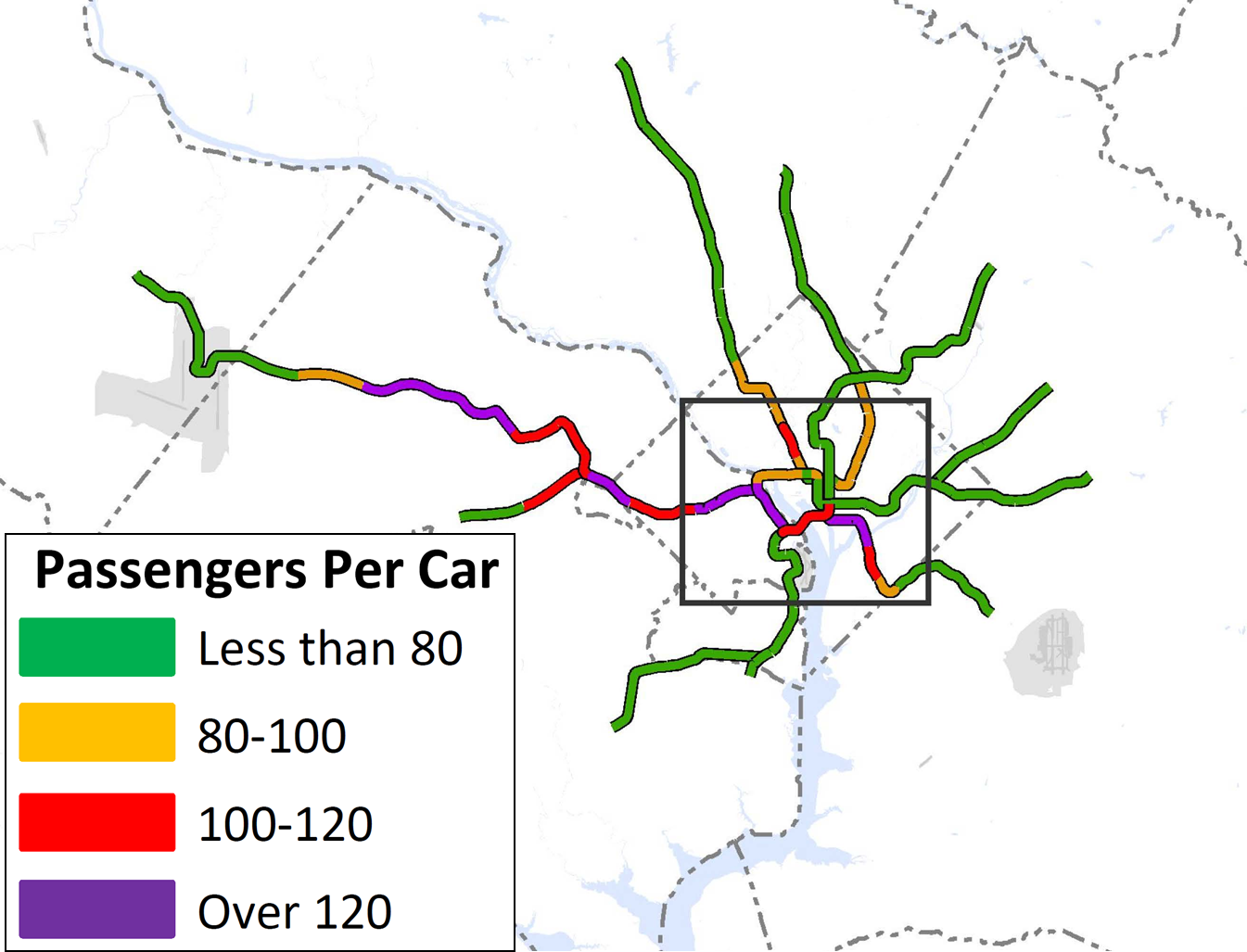
By 2040, ridership and crowding levels on Metrorail indicate the need for a new Blue Line and new Yellow line in the system’s core and a third line in Virginia.
At the time of our last post, we had run an initial round of four scenarios that sought to resolve regional mobility issues. We gathered a lot of information from the results, but realized that we needed to run a second round of scenarios focused almost entirely on Metrorail. Using MWCOG’s Cooperative Forecast Round 8.1 land use, which has been adopted by the region, and MWCOG’s Aspirations land use, which shifts more jobs and households into the regional activity centers, the maps below clearly demonstrate crowded conditions in 2040. The Base Network shown in these maps includes 100 percent eight-car trains and all the CLRP projects. Crowded conditions exist on the Orange Line west of Rosslyn, on the Yellow and Green Lines south of L’Enfant Plaza, and on the Silver Line west of Tysons. Because the results indicated that Metro would be severely crowded EVEN if we run the longest possible trains (eight-car trains), we wanted to explore other long-term solutions.
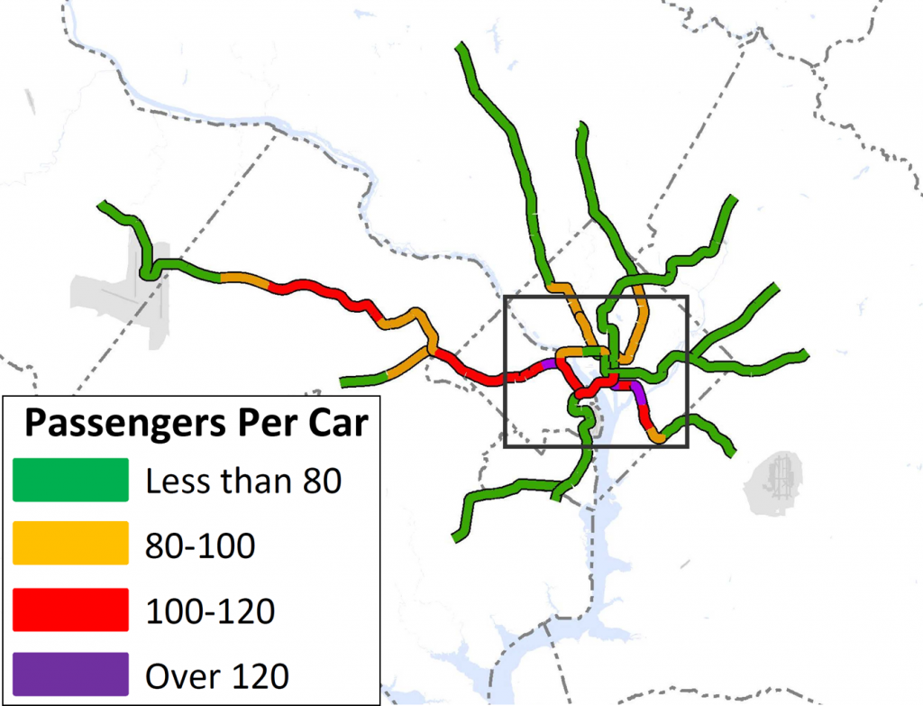
Crowding on Metrorail by 2040, even with the longest possible (eight-car) trains. Base Network AM Peak, Round 8.1 Cooperative Forecast

Crowding on Metrorail in 2040 even with the longest possible (eight-car) trains, Base Network AM Peak, Aspirations Land Use
Read more…


Recent Comments