
Solving the Region’s Congestion Woes – One Step at a Time (Part 2 of 3)
Improving pedestrian connectivity takes cars off the road at a formidable clip – rivaling the power of all of the region’s planned roadway additions and “last mile” transit connections. Cheaply and quickly.
This post is part two of a three-part series.
The data is finally in, and we now know that walkable station areas result in fewer motorized trips, fewer miles driven, fewer cars owned, and fewer hours spent traveling. And when we improve the pedestrian and bicycle access and connectivity to Metrorail station areas, ridership goes up, putting a major dent in congestion by taking trips off the roadways. Earlier, we discussed what it means to build walkable station areas and research shows the tremendous benefits to the region of making this a priority.
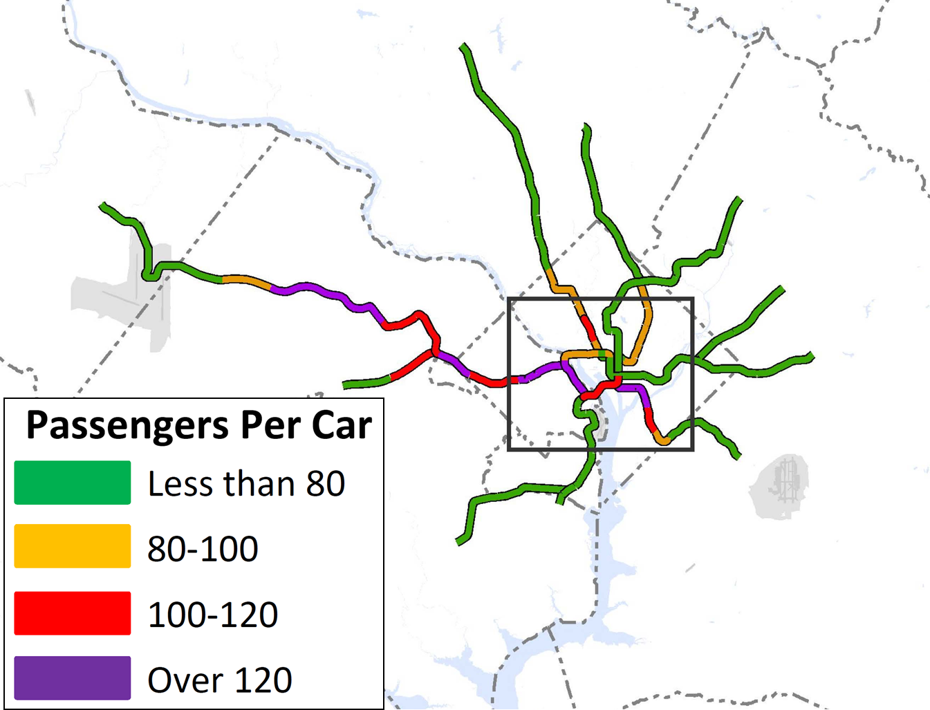
First, our data confirms that when walking access to transit is improved, transit ridership goes up – way up. In the 2040 Regional Transit System Plan (RTSP), we stress tested TPB’s transportation model to improve walkability to the transit network and saw huge increases in transit linked trips. These trips go up by about 10% region-wide and we get an increase in transit mode share for all regional trips by 0.5%. That’s over and above the roughly one percent increase in mode share we anticipate occurring as a result of building the entirety of the CLRP, an impact about half that of constructing all of that transit.
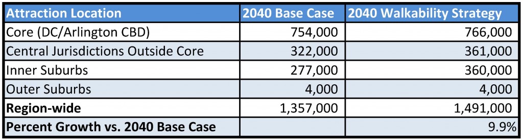
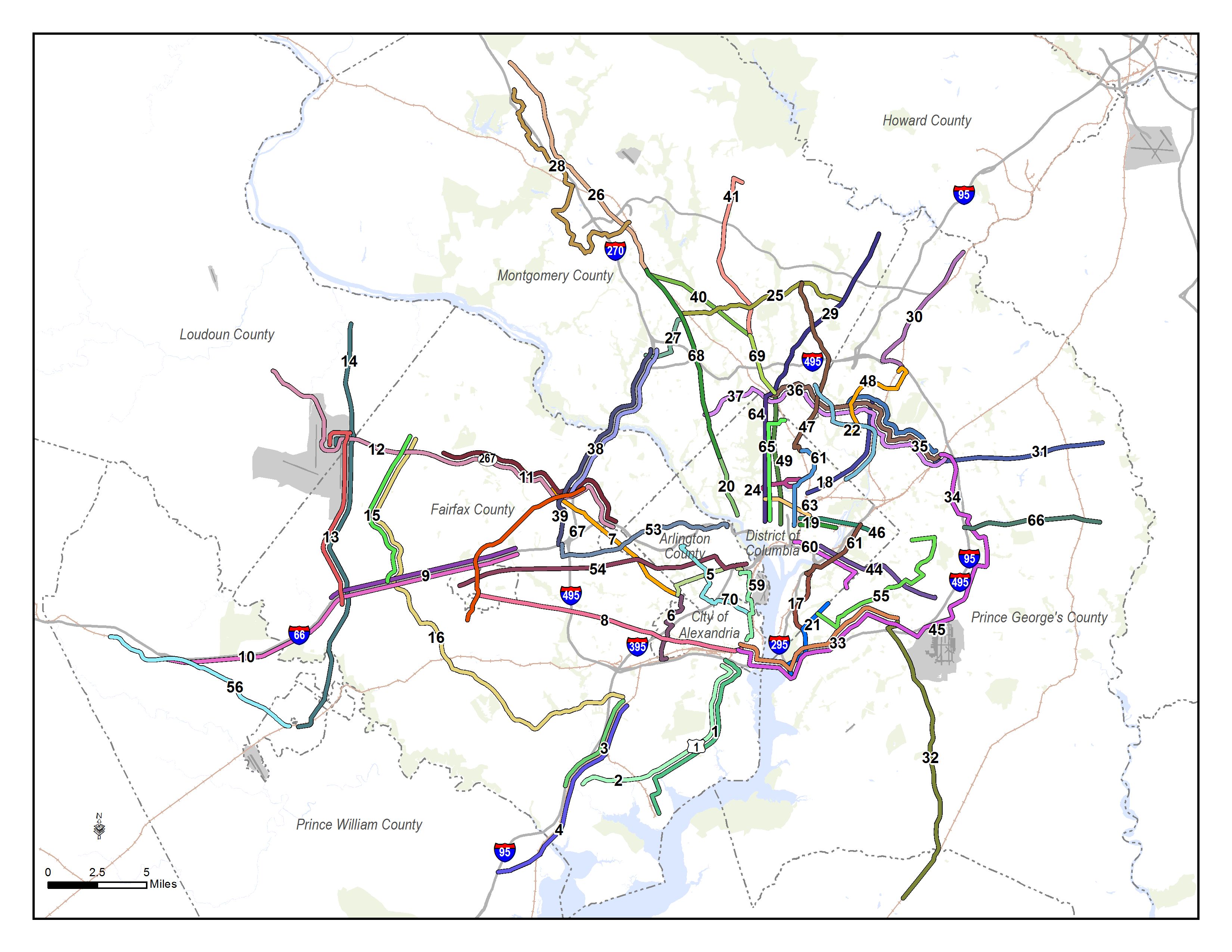
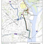
Source: Regional Transit System Plan


Recent Comments