
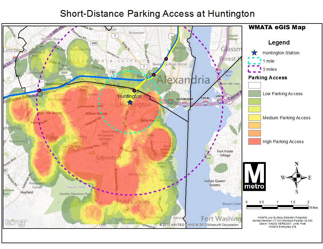
Huntington Station Auto Access “Hotspots”
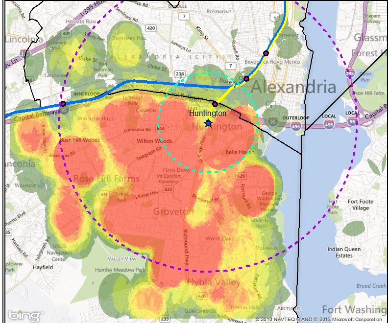
Heat map showing parking access within 1 mile and 3 miles at Huntington station, which may indicate good opportunities for pedestrian and bicycle improvements (click for full map)
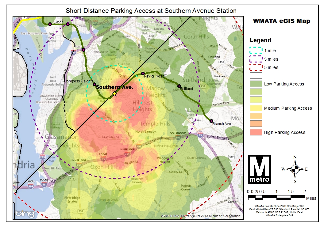
We continue to explore barriers to pedestrian and bicycle access to Metrorail stations with a look at Huntington station. Previous posts in this series explored Forest Glen and Southern Avenue stations. All stations profiled share similar characteristics in that they have a high percentage of short-distance (less than three miles) parking access, and low bicycle use. By looking at street layout, customer distribution and gathering your comments we are working to better understand barriers facing pedestrians and bicyclists and improve safety.
The map on the right (full version) shows auto access “hotspots” for Huntington station. Huntington is located in Alexandria Virginia less than a mile south of interstate 495, the Capital Beltway.
The station serves as a park and ride option for commuters from south of the DC metropolitan area as it is the last station on the southern end of the Yellow Line and is easily accessible from the interstate. Still, roughly half of the 3,600 daily parking customers originate from the many residential areas within three miles of the station.
Short distance parking customers almost exclusively originate from south and west of the station. The Potomac River, Capital Beltway, and proximity to Eisenhower Ave, Kings Street, and Braddock Road stations also along the Yellow Line seem to influence this. Read more…


Recent Comments