Prepare yourselves for the winter season by checking out the Metrobus Snow Service Plan on the Metrobus Snow Service webpage.
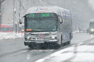
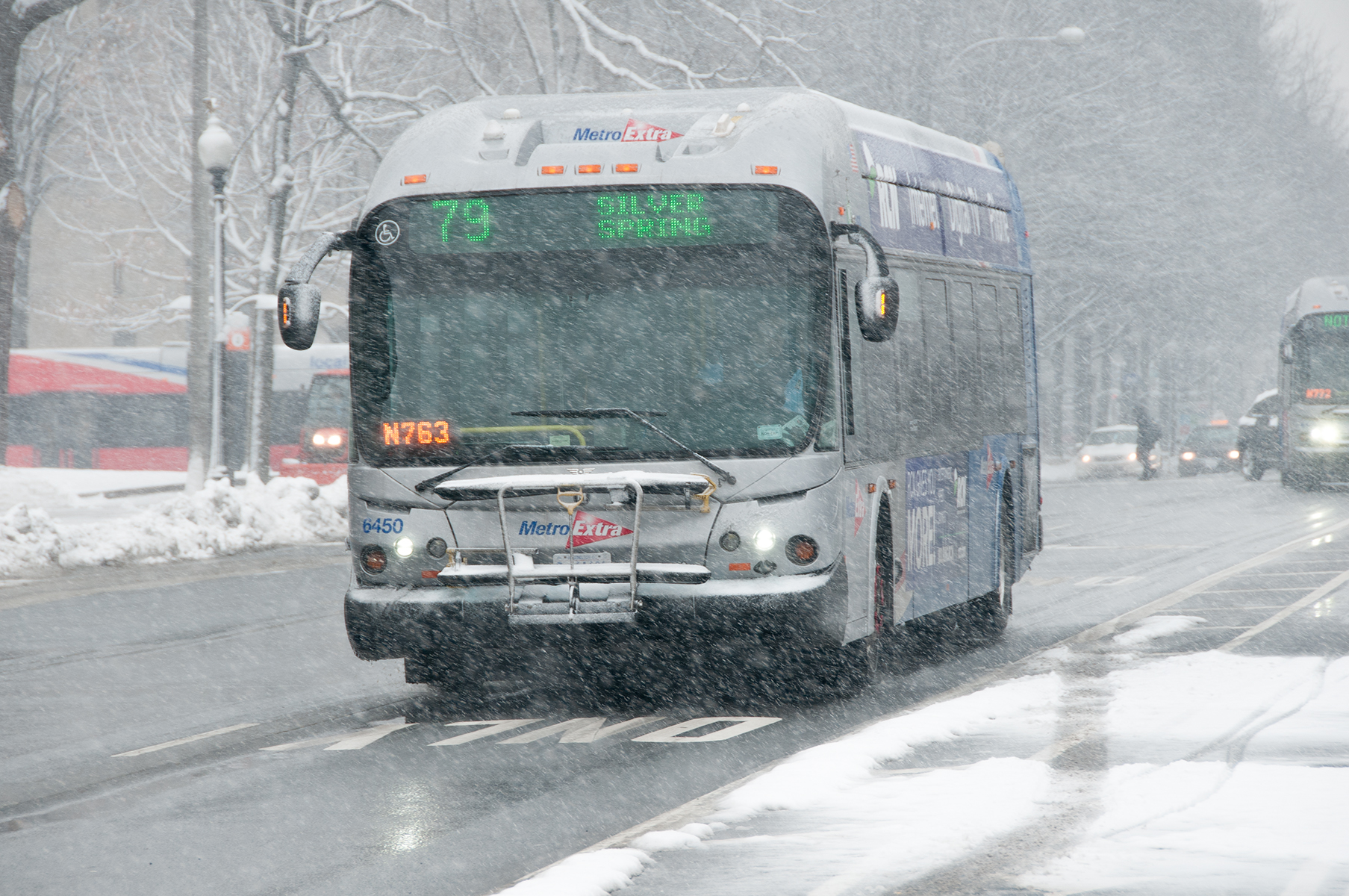
MetroExtra 79 to Silver Spring. Photo by WMATA staff.
Every year, Metrobus planners review the Snow Operations Plan for the coming winter. Snow service is a large joint effort between planning and operations. The communication between departments begins early as we make adjustments for route changes from the previous year and reflect back on what we can improve for the upcoming season.
Metrobus operates 3 levels of service during snow events:
Light snow conditions typically have less than 2” of snow without packing or ice. Most routes are expected to operate, possibly under the Light Snow Detour routing.
Moderate snow conditions mean service is suspended on many routes and any route with a snow detour route will be operating under the snow detour.
Severe snow conditions include heavy snowfall with packed snow and/or ice. Bus service will be suspended on all but the busiest routes and any route with a snow detour route will be operating under the snow detour.
In the event of a total service shutdown, no bus service will operate until conditions improve. Customers will receive as much notice as possible before service is suspended.
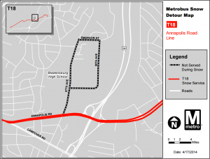
Example Snow Detour Map. Under Light, Moderate, and Severe service levels, the T18 runs on Annapolis Rd. and does not serve Bladensburg High School.
Bus operations and communications staff will make their best effort to give notice before changing service. The best way to get information is to sign up for MetroAlerts and to check www.wmata.com and the local media for alerts.
Look up your routes on the Metrobus Snow Service webpages to see if your routes operate in Light, Moderate, and Severe service levels and whether your routes have snow detours. Then, when Metrobus announces a snow service level, you’ll be ready.
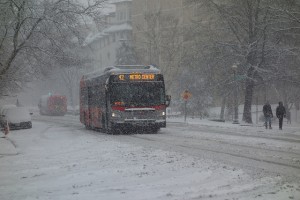
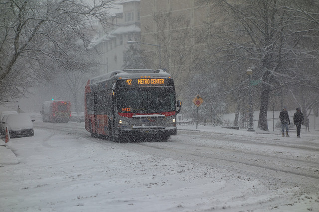
Route 42 to Metro Center last March. Photo by Ginger.


Recent Comments