Metro has constructed several pedestrian improvements on the east side of Brookland-CUA station to create a safer and more pleasant pedestrian experience.The majority of the work was improving the connection from the station entrance to Bunker Hill Rd. NE (map), which had previously been a dirt path. We installed new stairs and an accessible ramp to Bunker Hill Rd. NE, and added sidewalks and curb ramps along the road, up to the intersection with 9th St. NE. In addition, we made improvements to several crosswalks and curb ramps near the bus loop. We undertook this work as part of Metro’s Pedestrian and Bicycle Element of 2012-2017 Capital Improvement Program. Pictures below:
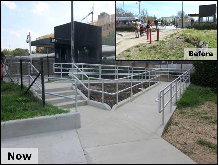
New staircase and ramp replace former dirt path at Brookland-CUA station
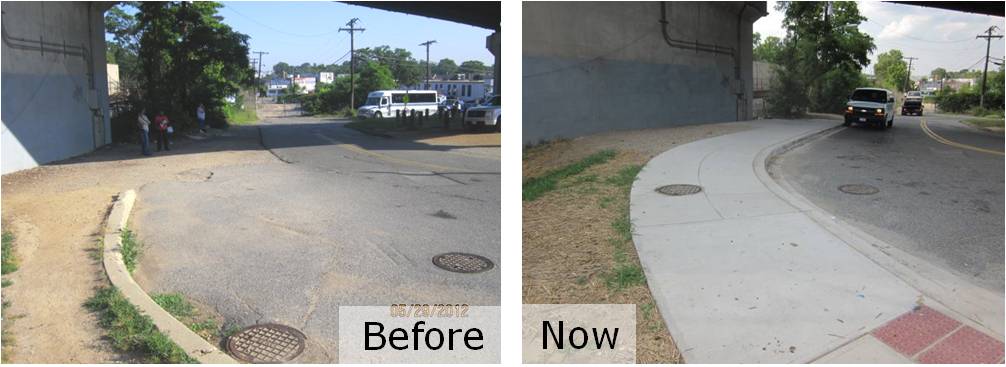
New sidewalk and curb ramps replace former dirt path
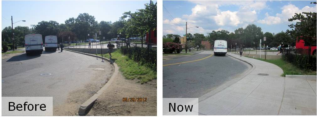
New sidewalk to access intersection of Bunker Hill Rd. NE and 9th St. NE
As some eagle-eyed spotters have noticed, we are also working on installing new bike racks on the west side of Brookland-CUA station, near the Met Branch Trail. However, the installed racks were not quite up to our standard, so we have instructed our contractor to replace them and they should be complete shortly.
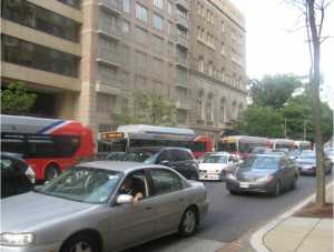
Metrobuses in congested traffic on Eye Street NW during the PM Peak
The Washington, D.C. region continuously ranks as one of the most congested metropolitan areas in the nation. Metrobus plays an important role in connecting residents to activity centers and alleviating traffic on arterials. However since Metrobus vehicles operate within mixed traffic, Metrobus service experiences delays and reduced travel speed on a daily basis.
To improve the effectiveness and reliability of bus service, WMATA and DDOT recently initiated an operational analysis to explore bus-only lanes along H and I Streets NW, one of the busiest bus corridors in downtown Washington, DC. The study team recently completed the existing corridor conditions assessment and applied VisSim, a multi-modal traffic simulation tool, to identify and quantify the congestion impacts on buses as well as other roadway users, including pedestrians, bicyclists and private vehicles.
Read more…
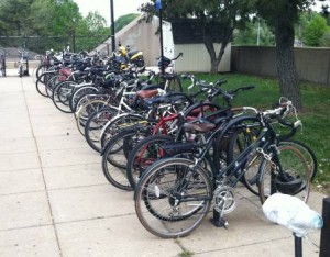 In May and June, Metro staff traveled the region counting parked bicycles at all Metrorail stations. These bike counts help measure our progress in attracting bike-to-rail customers, and are a key piece of data when we plan for bicycle facilities in the future as part of Metro’s Pedestrian and Bicycle Element of 2012-2017 Capital Improvement Program. Here are some results.
Similar to last year’s counts, the objective of the census was to measure the general availability of, and demand for, bike parking around Metrorail stations. Regardless of who owns the racks, we want to know how easy it would be for a passenger to find a place to park a bike near a station at peak times. So, we counted during a six-week window on sunny, warm days from May 1 to June 15, between 9:30am and 3:00pm.
We excluded bike lockers, the Union Station Bikestation, and the College Park Bike & Ride (we counted the racks at that station shortly before that facility opened). We counted each U-Rack as space for two bikes, and used our best judgment for other racks.
Download the count data for yourself (.xls)
Read more…


Recent Comments